
-Miranda
Afterwords, Toan, Thang, Tim and I went out into the woods behind the house and had a Campfire Dinner.
P.S.
Caves Near: 47°49'18"N 92°13'56"W
Nice Cliff Pit: 47°48'35"N 92°15'52"W
-Joe
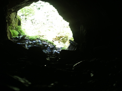
A cave we explored.
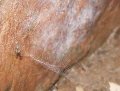
A spider we found near the end of a cave.
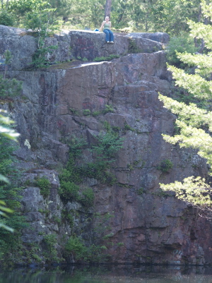
The 'cliff' we jumped off of. The ledge is almost halfway up on the left side of the photo.
[ 3 comments ] ( 13 views )
My Mother, Miranda, and I went for a quick camping trip to a fun little campsite up a river across Island Lake. Odie behaved well on our travel across the lake. Real nice Pine needle floored campsite. There was a rope swing nearby also. Highly recommend unmarked campsite @ GPS 47°1'36"N 92°4'56"W.
-Joe
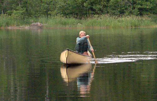
My Mum out for a little paddle
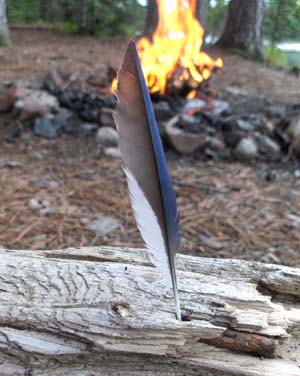
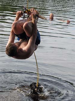
Miranda's artsy Blue Jay feather composition. Rope Swing near campsite.
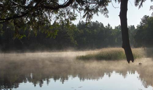
Morning mist flowing down river
[ 5 comments ] ( 11 views )
Erin and Jon took us for a quick hike up at Jay Cooke State Park. We walked along the sharp rocks of the St Louis River. There was speculation that it may be possible to cross the river along a stretch of large rocks in the river. I took it upon myself to try, and learned a good lesson
 . There are rocks that you can jump onto, which then you cannot jump back. After making about a dozen or so such jumps, and then getting almost to the otherside, I found there was a 10' gap, and it was rushing water, too deep to touch. So after feeling trapped for a good 30 minutes and running around trying to find alternative routes, I stuck my cell phone and wallet in my hat, and threw the camera to shore... Then went swimming!.. So it's good fun to jump rocks, but make sure you can jump back . Erin also managed to fall in on the way back
 -Joe
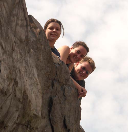
Miranda, Erin, and Jon hanging over the water.
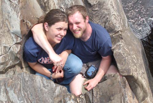
Miranda and Joe stuck in a big swirl-hole.
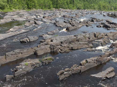
The large rock field joe crossed.
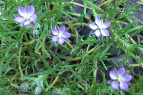
Pretty little purple flowers.
[ add comment ]
We took a short hike in the woods behind our house. About a mile away there are cool boulders to climb on in the middle of a good sized urban forest. They also found a GeoCache that my mother had hidden back there.
-Joe
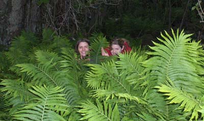
Miranda and Laura lost in the ferns!
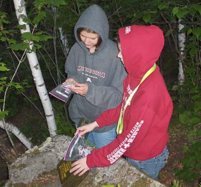
Miranda and Laura looking through a My Mother's GeoCache
[ 1 comment ]
June 7th-8th:
My mother, Miranda, and I had planned a canoe crossing to Sand Island from Meyers Beach but my mother's large puppy wouldn't sit nice, so we decided to go hiking instead. The only mainland campsite was 4.6 miles from Meyers beach. Didn't sound like much, but there were huge hills the entire way. Real nice terrain and views though. Also the campsite was great, right on a private sand beach. The title image at the top of this diary is a sunset Miranda photographed from our campsite. Learned my lesson about overpacking gear
(Why do we have winter sleeping bags when it's summer??)-Joe
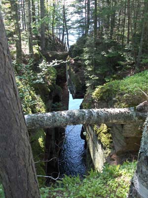
Huge crevice, We had the canoe in here earlier.
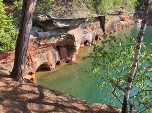
Lots of little sandstone seacaves.
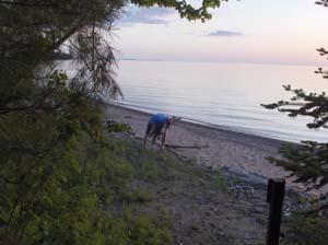
Nice view from campsite.
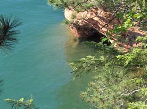
Nice big seacave.
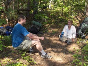
Taking a break.. Boy I'm out of shape..
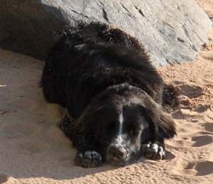
Mom's Puppy, Odie.
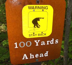
Funny/Scary sign before ravine.
[ 1 comment ] ( 6 views )
Back
 Calendar